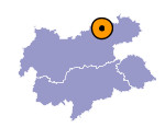
Image collection »Brandenberger Tal«
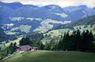
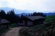
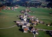
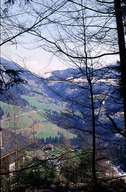
The Brandenberger Tal, a northern side valley of the Inn, is drained by the approximately 30 km long Brandenberger Ache which rises as the Rote Valepp at the Spitzingsee in Bavaria. This deeply incised valley only provides room for settlements on its flat areas and slope edges near the valley exit. In addition to agriculture forestry plays an important role. On the basis of the extensive forest areas the biggest wood transportation track in Central Europe developed from the end of the Middle Ages onwards which, however, had to be discontinued at the end of the 1960s due to unprofitability. Two wood transportation track defiles (Kaiser- and Erzherzog-Johann-Klause) still bear witness to these times. A peculiarity of the valley is the "Atzlriff", a unique reef which dates back to the cretaceous period 100.000 years ago and which was declared a natural monument in 1973.
|
|
|
|
|
|
|
