Tirol Atlas Archiv

tiroLexikon

^UP

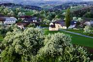
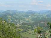
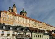
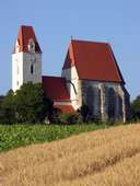
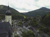
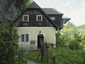
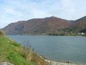
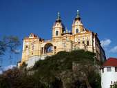
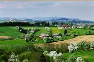
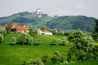
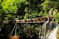
Bildersammlung »Mostviertel-Eisenwurzen«

"Man hat diesem Land schon viele Namen gegeben. Wiege und Obstgarten Österreichs, das Land der Birnen und Bären, Land der Hämmer oder die Region, wo selbst Gott einen Vierkanthof besitzt." (Zitat Tourismuswerbung Tiscover) Weiterlesen →

Tirol Atlas image No.°9702
Typische Vierkanthöfe südlich von Amstetten
Tirol Atlas image No.°11053
Waidhofen an der Ybbs in den Ybbstaler Alpen
Tirol Atlas image No.°11034
Stift Melk (ab 11.Jh.)
Tirol Atlas image No.°10907
Wallfahrtskirche "Maria am grünen Anger" in Mauer bei Melk
Tirol Atlas image No.°11052
Waidhofen an der Ybbs
Tirol Atlas image No.°11054
Häuser an der Ybbs
Tirol Atlas image No.°11010
Donau bei Melk
Tirol Atlas image No.°11011
Stift Melk ist das größte barocke Kloster Österreichs (ab 11.Jh.)
Tirol Atlas image No.°9700
Obstbaumblüte bei Ardagger, Vierkanthof
Tirol Atlas image No.°9701
Historisches Foto: Sonntagberg mit Dreifaltigkeitswallfahrtskirche (1706-32 n.Chr.)
Tirol Atlas image No.°9703
Traditioneller Holztrifter im Mendlingtal
Übersichtskarte
Topografische Karte
Weiterführende Links: Weblink »Wikipedia«, tiroLexikon