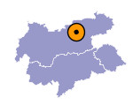
Image collection »Wolfsklamm Gorge«
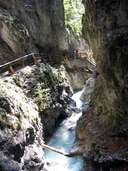
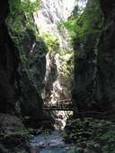
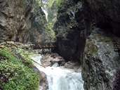
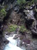
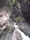
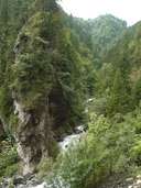
The Stanser Bach has eroded the impressive Wolfklamm gorge into the dolomite rock of the Karwendel between Stans and the Georgenberg. A wooden footbridge, already constructed in 1901, made it possible for visitors to see the gorge. The narrow path wends its way passed mixed deciduous forests, numerous small waterfalls, gumpen and kolken (hollow formations produced by the power of water) over an altitude difference of 245 m. to the monastery of St. Georgenberg, built around 950 CE. Pioneering gorge plants colonise the moist rock walls of the narrow Wolfsklamm. These include auricula (Lat. Primula auricular), members of the cowslip family, which are able to store moisture in their fleshy leaves.
|
|
|
|
|
|
|
