Image collection »Vordere Gießenbachklamm Gorge«
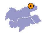
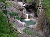
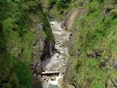
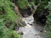
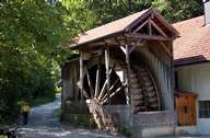
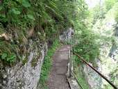
The Vordere Gießenbachklamm gorge , approximately 1 kilometre long, lies to the west of Kiefersfelden, close to the border with Tyrol. This gorge was already made accessible in 1928 on the initiative of the industrialist Wilhelm Sachs. At the entrance to the Vordere Gießenbachklamm visitors can admire a wooden mill wheel which has a diameter of seven metres. This wheel has been driven by the waters of the Gießenbach since the 15th century. Nowadays the new wheel produces seven kilowatts per hour. The end of the gorge is marked by the Schopper Alm mountain pasture at an altitude of about 600 metres. On the way back to Kiefersfelden it is worth making a small detour to the oldest mountain farm in Bavaria (established about 500 BC), the so-called "Trojer".
|
|
|
|
|
|
