Image collection »Rosengartenschlucht Gorge«
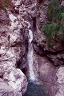
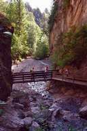
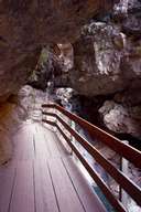
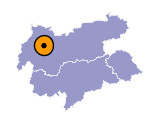
The Rosengartenschlucht gorge, with a length of 1.5 kilometres, runs between Imst and Hochimst. Here the waters of the Schinderbach erode the Wetterstein limestone and dolomite to a depth of some 100 metres. At the entrance to the gorge a network of galleries bear witness to the lead mining which began here in 1446 but already ceased in the 17th century. Lead ore itself was not a valuable raw material, but it was used in the production of silver. At the exit if the Rosengarten gorge, after an ascent of more than 200 metres, one can see the "Blaue Grotte" (Blue Grotto), (an old drift mine with two waterfalls) which takes its name from the fascinating colour play of light and water.

|

|

|
|
