Image collection »Höllentalklamm Gorge«
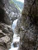
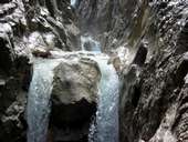
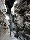
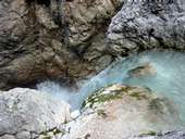
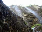
The Höllentalklamm gorge, formed by the waters of the Hammersbach, lies south of the community of Grainau in the so-called Höllental valley. The entrance to this approximately one kilometre long and two to five metre broad and up to 150 metre long gorge is located at the Höllental-Einganghütte at an altitude of 1047 metres. The path through the Höllentalklamm gorge leads over numerous small wooden bridges and rock steps from which visitors can marvel at this natural spectacle. The exit to the gorge lies at an altitude of 1193 metres and is an ideal starting point for further walks and hikes in the Zugspitz Massif.
|
|
|
|
|
|
Further links: Weblink »Wikipedia«