Image collection »Umbalfälle«
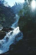
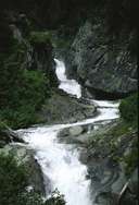
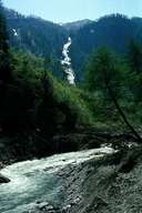
The River Isel forces its way through the narrow Umbaltal valley and at the Umbalfälle falls to the valley in a number of cascades. The stream rises at the Umbalkees and carries many sediments with it (sand and stones) which "scour" the bed. Deep washed out kolks and potholes bear witness to the immense power and continuous work of the water over millennia.
The famous "Wasserschaupfad Umbalfälle" (Water Trail Umbalfälle) was constructed in 1976 under the patronage of the European Council. For many years the Umbalfälle were under threat from a planned large power station. In 1991 the falls were declared a national monument and are nowadays a symbol for the National Park Hohe Tauern.

|

|

|
|
