Image collection »Staller Sattel«
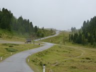
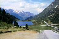
It was already used as a mule track. The present road was opened in 1974. It is closed during the winter months and during the summer is only open during the day. As the pass itself is very narrow, cars are only let through in both directions alternately for 15 minutes every hour. The Obersee is located on the East Tyrolean side of the Staller Sattel itself and further on in the direction of South Tyrol one can reach the bigger Antholzer See.

|

|
|
Further links: Weblink »Wikipedia«
