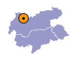
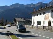
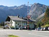
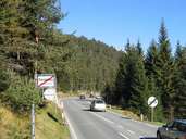
Image collection »Fernpass«
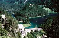
The route over the Fernpass was used early on but after Roman times in particular it served as a main transit route. The "Obere Weg" (Upper Road) of the Roman road the Via Claudia Augusta led over the Fernpass. The route led from the Adriatic over the Reschenpass and the Fernpass to the present-day city of Augsburg and was above all used by merchants and travellers. Below the pass on the Tyrolean side Schloss Fernpass served to safeguard the pass. It was a customs station and served as the ruler's road block - the road led through the middle of the castle. Of course the road today is far more modern. The Fernpass lends its name to the Außerfern because this area lies beyond the Fernpass.
|
|
|
|
|
|
Further links: Hazards Chronicle Tyrol, Weblink »Wikipedia«
