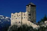
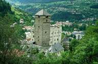
Image collection »Castle Landeck«
Castle Landeck lies on a ledge above the city, where the river Inn runs out of a gorge and the valley widens again. In the Middle Ages it was possible to guard the traffic on the road from north to south, from the Fernpass and Reschenpass from the castle. This road was already used in Roman times and could be closed if necessary. When the provincial court in the castle was closed in 1840, the castle lost its importance. The castle temporarily was used as barracks and a poorhouse. Today it houses a cultural centre the museum of local history.

|

|
|
Further links: Weblink »Burg Landeck«
