Tirol Atlas Archiv

tiroLexikon

^UP

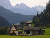
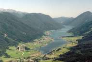
Bildersammlung »Oberkärnten«

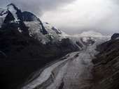
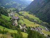
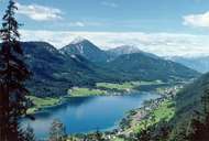
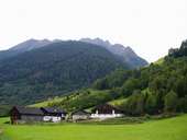
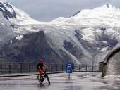
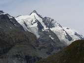
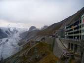
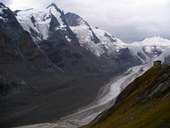
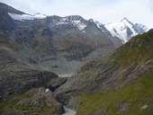
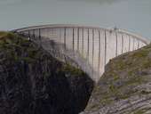
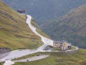
Zwei Nationalparks, der höchste Gipfel und der längste Gletscher des Landes bilden nur die absoluten Höhepunkte der von der Natur im Übermaß verwöhnten Nuts-3-Region Oberkärnten. Weiterlesen →

Tirol Atlas image No.°10452
Großglockner (3.798m) mit Pasterze in den Hohen Tauern
Tirol Atlas image No.°9833
Bergdorf Heiligenblut im Nationalpark Hohe Tauern
Tirol Atlas image No.°7998
Der in die Gailtaler Alpen eingebettete Weißensee
Tirol Atlas image No.°9837
Bauernhof im Mölltal
Tirol Atlas image No.°10453
Großglockner - Franz-Josephs-Höhe
Tirol Atlas image No.°9835
Großglockner
Tirol Atlas image No.°9764
Franz Josefs Höhe mit Pasterze
Tirol Atlas image No.°9758
Franz Josefs Höhe
Tirol Atlas image No.°9760
Pasterze mit Franz Josefs Höhe
Tirol Atlas image No.°9753
Margaritzenstausee
Tirol Atlas image No.°9839
Staumauer, Margaritzenstausee
Tirol Atlas image No.°9759
Glocknerhaus
Tirol Atlas image No.°9834
St. Maria in der Au, Mölltal
Tirol Atlas image No.°7997
Weissensee
Übersichtskarte
Topografische Karte
 
Weiterführende Links: Weblink »Wikipedia«, tiroLexikon