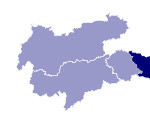
Image collection »Spittal an der Drau«
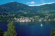
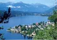
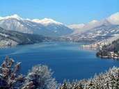
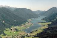
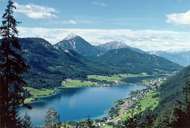
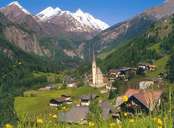
From an area point of view, Spittal an der Drau is the largest district in Carinthia. However its location is partly peripheral. The town of Spittal an der Drau, located at the confluence of the Lieser with the Drau, is the main district town and major road junction. The district is made up of the Drautal that runs from East Tyrol and on whose broad valley floor large settlements such as Oberdrauburg, Dellach Steinfeld and Lurnfeld have been able to develop. The Mölltal is shaped by the river Möll which rises in the Glocknergruppe in the Nationalpark Hohe Tauern. It is possible to reach the Pasterze Glacier by means of the Großglockner Hochalpenstraße toll road. There is a rail connection to the province of Salzburg through the Tauernschleuse between Mallnitz and Bad Gastein and the motorway runs from Spittal northwards past Gmünd through the Katschbergtunnel. The district makes up part of the Nationalpark Hohe Tauern and the Nationalpark Nockberge. The numerous small and big bathing lakes such as the Millstätter See and the Weißensee are important tourist areas.
|
|
|
|
|
|
|
