Image collection »Hermagor«
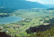
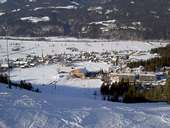
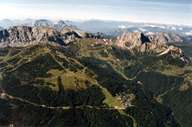
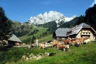
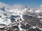
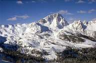
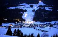
The district of Hermagor is restricted in the south by the Karnischen Alpen and in the north by the Gailtaler Alpen. The communities of the Lesachtal, the Gitschtal and a large part of the Gailtal fall within its jusrisdiction. The Lesachtal is a deep, narrow gorge through which the main road runs along the northern valley slope and the few settlements have in the main developed along the slopes. Striking is the strong influence of the East Tyrolean dialect in the language. The Gail flows on through the Upper Gailtal at Kötschach -Mauthen and from Hermagor-Pressegger See on through the lower Gailtal. The valley floor broadens out and is in stark contrast to the partly precipitous mountain slopes. The focal point of the district is the town of Hermagor-Pressegger See where the Gitschtal meets the Untere Gailtal. Important road connections to Italy lead over the Plöckenpass and the Nassfeldpass. The Pressegger See, the warmest bathing lake in Kärnten (Carinthia) lies to the east of the district capital. The ski arena Nassfeld-Hermagor is of interest from a tourism point of view.
|
|
|
|
|
|
|
|
|
|