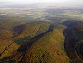
 Parco naturale Geschriebenstein (884m)
|
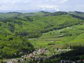 Schwarzenbach, Paesaggio Montano Landseer Bergland
|
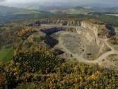 Pauliberg (761m), vulcano spento
|
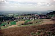 Redlschlag
|
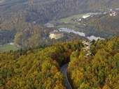 Fortezza Lockenhaus
|
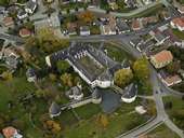 Castello Kobersdorf
|
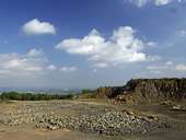 Pauliberg, un vulkano spento
|
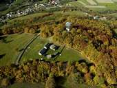 Villagio celtico, Schwarzenbach
|
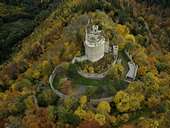 Rovine Landsee, Mittelburgenland
|
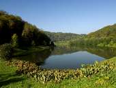 Burgsee, Parco naturale Geschriebenstein
|
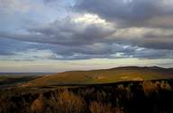 Parco naturale Geschriebenstein
|
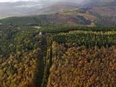 Parco naturale Geschriebenstein, bosco
|
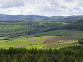 Parco naturale Landseer Berge
|
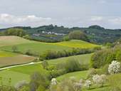 Parco naturale Landseer Berge
|
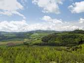 Parco naturale Landseer Berge
|
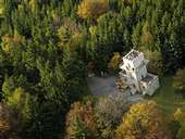 Torre su Geschriebenstein
|
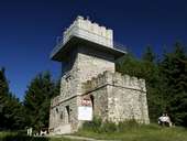 Torre su Geschriebenstein
|
 Carta topografica
|
| |